Categories
Uncategorized

St. Louis’s “Satellite Cities”

Excerpted from my book-in-progress, provisionally titled Aliens in the Crucible: St. Louis, Xenophobia, and a 1908 Immigrant Suicide. The book examines the political and cultural effects of turn-of-the-century xenophobia in a city that Walter Johnson calls “the crucible of American history.”

Areas of heavy industry in and around St. Louis. Graham Romyn Taylor, Satellite Cities: A study of Industrial Suburbs (New York: D Appleton and Company, 1915), 131. 

In addition to swelling the populations of St. Louis’s riverside industrial neighborhoods, immigrants increasingly populated the new industrial “satellite cities” on St. Louis’s east side. These areas, too, were part of a national trend. Wrote Peter Roberts in 1912, “hundreds of small communities have, in recent years, grown around industrial plants transferred from large cities, and with the plant the foreigners also moved. Around Pittsburgh, Buffalo, Chicago, St. Louis, etc., many such plants are found. They have been well called ‘satellite cities,’ for industrially they have to depend upon the parent city.”[i] St. Louis’s most important satellite cities, all across the river in Illinois, were East St. Louis, Venice, Madison, Granite City, and Wood River. There, on the “east side,” abundant water, readily available land, and cheap bituminous coal gave rise to foundries, factories, and an oil refinery. By 1907, these businesses employed thousands of laboring immigrants from Hungary, Russia, Bulgaria, Albania, and Greece. The industrial development and population growth in Granite City and Madison were especially spectacular. Reported the U.S. Immigration Commission in 1911, 

“In 1892 the site of this community was an unbroken stretch of cornfields….During the two years 1894-1896 a large steel plant, including blast furnaces, rolling mills, and foundries, was established in the community. In 1901 another steel establishment of the same description began operations. Four years later a large company for the manufacture of corn products was located in the community. About the same time shops were erected for building wooden and steel [railroad] cars. These shops employed over 3,000 men. By the year 1900, as was to be expected, the demand for unskilled labor could no longer be supplied by English-speaking people alone.”[ii]

Between 1900 and 1910, the population of East St. Louis jumped from 29,655 to 58,547; of Madison, from 1979 to 5046; of Granite City, from 3122 to 9903.[iii] Romanians, Bulgarians and Hungarians were especially numerous, settling in a part of Granite City known as Hungary Hollow, sometimes called Hunky Hollow—“a forlorn neighborhood beyond the western bulwark of industries and railroads.”[iv]

Map showing St. Louis’s Terminal Railroad. St. Louis Post-Dispatch, June 25, 1903.

Historians have sometimes treated St. Louis’s eastern satellite cities separately from St. Louis City, and with reason.[v]The Mississippi River was a formidable mental as well as physical barrier between the two parts of the metropolis. Federal censuses enumerated the two areas separately. More important, different state and city laws shaped labor and trade practices in Missouri and Illinois. The official industrial work week, for example, was fifty-four hours in Missouri but sixty in Illinois. St. Louis City had smoke regulations; the east side did not. Perhaps most important, surcharges imposed by St. Louis’s bridge “arbitrary” added twenty cents per ton to the cost of coal shipped west across the Mississippi River at St. Louis.[vi] Coal, much of it mined in southern Illinois, was therefore cheaper on the east bank of the Mississippi River than on the west bank. The price difference was a key factor motivating the founding and development of St. Louis’s eastern satellite cities.[vii]

But despite these barriers, the east side was an integral part of the St. Louis “industrial district,” economically and culturally. Most of the east side’s foreign-born residents had first immigrated to St. Louis before crossing the river again to reside in Illinois. Many other immigrants continued to live in St. Louis while working east of the river; factories even paid for workers living in St. louis to commute by train across the Eads Bridge and, three miles to the north, the Merchants Bridge.  By 1912, 35% of Granite City’s 11,000 workers would reside in St. Louis.[viii] St. Louis’s Terminal Railroad, which handled all passenger and freight railroad traffic entering or leaving the metropolis, encircled St. Louis’s new industrial satellite cities, looping them into the metropolis and integrating them into the local economy. Environmentally, the industrial districts where immigrants lived were one big mess. Residents in St. Louis proper could all too easily see—and, when the wind blew west, smell— the smoke from the huge industrial chimneys across the river. St. Louisans, in turn, dumped plenty of smoke and odors on their neighbors to the east. Both sides poured industrial and human waste into the Mississippi River. For the factory owners and managers who lived in St. Louis’s newer residential subdivisions, pollution meant progress. For the industrial workers living in the lowlands on both sides of the river, it was another humiliating hazard.


[i] Peter Roberts, The New Immigration: A Study of the Life of Southeastern Europeans in America (New York: Macmillan Company, 1912), 116. 

[ii] U.S. Senate, Immigrants in Industries (in Twenty-five Parts): Part 2, Iron and Steel Manufacturing, Volume 2, (Washington, D.C.: Government Printing Office, 1911), 43.

[iii] Graham Romeyn Taylor, Satellite Cities: A Study of Industrial Suburbs (New York: D. Appleton and Company, 1915), 135 (originally published as Taylor, “St. Louis ‘East Side’ Suburb:  How Industry is Jumping Across the Mississippi While Civic and Social Progress Follows Slowly, The Survey 24, no. 18 [February 1913]). 

[iv] Taylor, Satellite Cities, 128.

[v] See, for example, David E. Cassens, “The Bulgarian Colony of Southwestern Illinois 1900-1920,” Illinois Historical Journal 84, no. 1 (Spring 1991), 15-24. 

[vi] Taylor, Satellite Cities, 130-131. 

[vii] Primm, Lion of the Valley, 398.

[viii] Taylor, Satellite Cities, 138. 

Categories
Uncategorized

News Article About the Book

Regan Mertz at KCRG in Columbia has written an excellent article about The Names of John Gergen. I appreciate the article’s detail and accuracy.

https://krcgtv.com/news/local/author-found-100-year-old-schoolwork-turned-book-spoke-historical-society-benjamin-moore-john-gergen-hungary-germany-st-louis-missouri-biography-history-world-war-one-social-20th-century-america-immigration-midwest-industrialization-factories-book-award

Categories
Uncategorized

New Review of The Names of John Gergen

I’m very appreciative of Andrew Klumpp’s insightful review of The Names of John Gergen. It appeared last month in Middle West Review.

https://muse.jhu.edu/article/882947

Categories
Uncategorized

Objects and Absence: Finding Meaning in the Alley

mcaseysparrius's avatarThe University of Missouri Press

In this month’s guest blog, Benjamin Moore, author of The Names of John Gergen: Immigrant Identities in Early Twentieth-Century St. Louis discusses the importance and meaning of found objects. Moore is Professor Emeritus at Fontbonne University in St. Louis, Missouri. In 2006 he co-founded the Bosnia Memory Project, dedicated to preserving the memory of St. Louis’s Bosnians by recording oral histories and collecting personal letters and artifacts. In 2020, the Bosnia Memory Project became the Center for Bosnian Studies, where Ben now serves as Senior Researcher.


The best documentation of our lives is the detritus that we leave behind.

I’ve been collecting discarded objects for half a century and privately rearranging them for forty years. Thousands of them are now assembled in what I call the box room: a second-floor study with windows and high ceilings, where makeshift shelves and wooden boxes hold the remnants of other people’s lives. The older…

View original post 713 more words

Categories
Uncategorized

Book Award and Review

It was a good weekend for The Names of John Gergen. On Saturday, in Columbia, Missouri, it received the 2022 Book Award from the State Historical Society of Missouri. I was thrilled, all the more so because last year’s recipient was the renowned Broken Heart of America.

To make matters even better, I also met that day Elizabeth Eikmann, who received the 2022 Dissertation Award for work on turn-of-the-century women’s photography in St. Louis and its role in gender and racial formation, which I look forward to reading. Turns out that Elizabeth had just published a review of The Names of John Gergen in Cambridge University’s journal Urban History. I’ve read the review, and it is first-rate. I wish I could post it, but it’s under copyright, so I’ll just quote a couple of sentences:

“Grounding his focus in the story of young John Gergen and his extended family, all of whom lived in a rapidly changing St Louis neighbourhood, Moore crafts a brilliant analysis of turn-of-the-century migration. Specifically, he interrogates the ways in which social, cultural and political institutions compelled Gergen (and other migrants like him) to redefine their identity in complex and contradictory ways – often multiple times over.”

https://www.cambridge.org/core/journals/urban-history/article/abs/benjamin-moore-the-names-of-john-gergen-immigrant-identities-in-early-twentiethcentury-st-louis-columbia-university-of-missouri-press-2021-xvi-345pp-40-figures-5000-hbkebook/8056EE88ED85A31704F90284E7437483

Categories
Uncategorized

Enumerating St. Louis’s Donauschwaben Community

Purpose. The spreadsheet linked below is part of my ongoing effort to enumerate the Donauschwaben (or Danube Swabians) living in St. Louis in the twentieth century—and, equally important, to show the relationships between them. Each person listed on the spreadsheet is immediately related to at least one other person on the sheet, either as a spouse, a child, a parent, or a sibling.

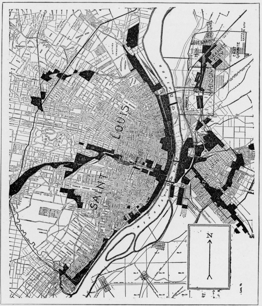
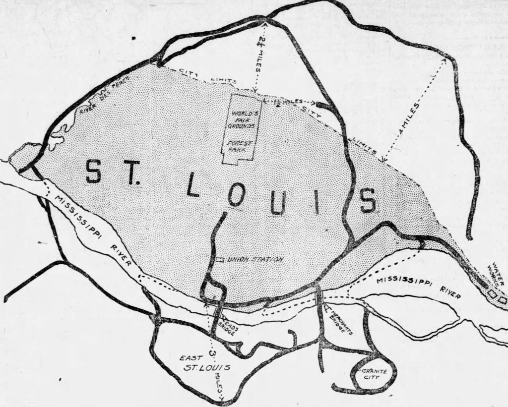
The spreadsheet therefore represents the ways in which Donauschwaben living in St. Louis became knitted together. Often these relationships were already in place upon arrival. But the community also knitted itself after arrival, through marriages solemnized in St. Louis, frequently between people from different Donauschwaben villages. These immediate familial relationships gave coherence to a community that started with the first migrations in the early twentieth century, that grew with the arrival of expelled Donauschwaben following World War II, and that ended with the deaths of St. Louis’s last Donauschwaben in the 1990s and early 2000s.

Contents. To be clear, the spread sheet, which is still in progress, enumerates members of an expatriate community, not their forebears in Hungary or their descendants in St. Louis. While it contains elements of genealogy, it is not traditional genealogy, which emphasizes “vertical” relationships—that is, ancestry and lines of descent within a given family. Instead, the spreadsheet emphasizes the “horizontal” relationships, especially marital and sibling relationships, that bound families together into an interrelated community.

The spreadsheet lists only Swabians who:

(a)  were born in Hungary,

(b) lived in St. Louis, and

(c) were immediately related (as spouse, parent, child, or sibling) to another Hungarian-born Swabian living in St. Louis.

There are two exceptions:

(a) Children born to Donauschwaben in St. Louis who themselves married either Donauschwaben or children of Donauschwaben are listed, since these second-generation marriages were important to community cohesion.  

(b) Spouses of Donauschwaben who were not themselves Donauschwaben are listed; their names are preceded by an asterisk (*). 

Sources. The sources of data in the spreadsheet are too numerous to annotate. They include ships’ manifests, obituaries, cemetery records, birth certificates, marriage certificates, death certificates, census records, Familienbücher—the list goes on. Anyone wishing to know the evidentiary basis of any particular data point should email me.

Method. Generally, the method of the research reflects the purpose: to expose relationships between and among Donauschwaben living in St. Louis. In other words, data have been assembled by “tracing out” the immediate familial relations of a given member of the community. This research leads to the discovery of additional community members, who are in turn “traced out.” The names of community members who have not yet been “traced out” are highlighted in yellow.

The method, of course, is inherently biased towards identifying community members who are immediately connected to other Donauschwaben. It will not lead to the identification of St. Louis Donauschwaben who have no such connection.

Organization. Community members are listed alphabetically. Within each entry, parents, children, and siblings are also listed alphabetically. Spouses, however, are listed in chronological order.

Future developments. The downloadable spreadsheet linked below will be updated as corrections are made and new data are added. I hope that the accrual of data will eventually enable us to investigate key questions about the development of St. Louis’s Donauschwaben community. When did it start? When was it the largest? What forces held it together? What accounts for its demise?

Categories
Uncategorized

An Alternative Ending

An earlier draft of The Names of John Gergen included an epilogue that I deleted before submitting the typescript for consideration. The epilogue is essentially a meditation on the other artifacts that I found in the dumpster the day after I retrieved John’s schoolwork. I have posted it below as a downloadable PDF.

Categories
Uncategorized

The Power Behind the Maps

“In April, May, and June [1917], officials enacted a federal order barring unnaturalized Germans from coming within a half mile of any defense- related establishments. The political geography of St. Louis suddenly changed when, on April 20, the district attorney issued maps of St. Louis featuring mile- wide ‘barred zones’ that were off- limits to German nationals, on pain of immediate arrest. The measure effectively denied Germans entry not only to armories and arsenals but also ‘to the Free Bridge and Eads Bridge, to the McKinley Traction Company’s station on Twelfth Street, to the wholesale and part of the shopping district, to many theaters and motion picture shows, to the two German newspaper offices, the Amerika and the Westliche Post, and the City Hall and Municipal Courts Building.’ Soulard was sandwiched between an exclusion zone to the north that included the southern part of downtown and another to the south that included the Anheuser-Busch Brewery” (The Names of John Gergen, pp. 142-143).

I have searched every archive I can think of for the original maps showing the “barred zones,” with no success. But the Post-Dispatch published its own maps, and they reveal how much of St. Louis was off-limits to German nationals.

“At the upper left hand, the center of the circle is Troop B Armory. At the upper right-hand corner the centers are three large munitions factories. At the lower left, the Marine Hospital and the St. Louis Barracks are the centers, and the lower right-hand the armories of Battery A and the First Regiment are central points.” St. Louis Post-Dispatch, April 21, 1917.
Additional barred zones made nearly all of downtown off-limits to German nationals. St. Louis Post-Dispatch, May 2, 1917.

Alien exclusion zones were assiduously enforced among the thousands of German nationals living in St. Louis. Germans unlucky enough to find themselves living in one of the zones were forced to move. Those who worked in one of the zones were obliged to apply to the U. S. Marshall’s office for permits to enter the zone; applicants’ names–hundreds of them–were often printed in the local papers. Citizens were encouraged to report to the police any incursions into the barred zone. Dozens of German nationals were arrested for living in or entering the barred zones, and some were interned for the duration of the war.

Nor was it the first time that the Post-Dispatch published a map showing where people were allowed to live:

“In 1916, with real- estate developers leading the charge, St. Louis residents overwhelmingly passed a referendum that ‘barred blacks from purchasing a house or residing on blocks that were more than 75% white and vice versa.’ In March 1916, the Post- Dispatch published a map showing the few blocks ‘where Negroes may hereafter take up residence.'”

In 1917, The supreme court would declare St. Louis’s segregation statute unconstitutional. But for white immigrants, who would come under increasing scrutiny during the war years, St. Louis’s racist and xenophobic maps would together provide a powerful impetus to secure working-class white privilege. The racist map, after all, warned immigrants as well as Blacks that there was a racial line that must not be crossed. And the alien exclusion zones of 1917 were a reminder of the government’s authority to sort, stigmatize, and restrict urban populations, right down to the level of houses, tenements, and streets. “[F]or working-class immigrants, who themselves had been systematically demeaned, racism was [to become] a fulcrum that enabled not only social and economic advancement but also— perversely—a heightened sense of self-respect” (The Names of John Gergen, p. 213).

Categories
Uncategorized

More About Dumpster Diving

Alleys have provided me with so much–the schoolwork that led me to John Gergen and a habit of collecting that is paradoxically about the passing of all things.

Thanks to Lyla Turner for making this video.

Categories
Uncategorized

Book Talk with University of Missouri Libraries

My sincere thanks to staff the University of Missouri Press and the University of Missouri Libraries for arranging this talk.